
Quick Answer: Tropical Storm Edouard made landfall near the Texas-Louisiana border on September 1, 2026, with maximum sustained winds of 60 mph, then weakened into a tropical depression within hours. Its real impact came from rainfall, not wind: parts of eastern Texas north of Beaumont saw 10 to 22 inches of rain in a matter of hours, triggering a rare Level 4 of 4 “high risk” flash flood warning from NOAA’s Weather Prediction Center, a designation issued on fewer than 4% of days per year. Flash flood emergencies hit Hardin and Tyler counties, dozens of water rescues were carried out, tens of thousands lost power, and flood watches covered more than 7 million people from Houston and Beaumont to southeast of Dallas. Edouard’s remnants continued dumping heavy rain into eastern Texas through September 3 before finally dissipating.
In This Guide
- Storm Timeline: Formation to Landfall
- Rainfall and Flooding Totals
- What a Level 4 Flash Flood Risk Means
- Rescues and Damage Reports
- Power Outages
- Why Edouard Stalled Over Texas
- The 2026 Atlantic Hurricane Season So Far
- What to Do If You’re in a Flood Zone
- Frequently Asked Questions
Storm Timeline: Formation to Landfall
Edouard developed into the fifth named storm of the 2026 Atlantic hurricane season in the Gulf of Mexico in late August. As it approached the northwest Gulf Coast, warm Gulf waters and weak vertical wind shear allowed it to strengthen right up through landfall, a pattern the National Hurricane Center flagged as a continued strengthening risk in its forecast discussions. Forecasters noted at the time that the storm’s 12-hour forecast point placed it well inland, but cautioned that additional strengthening was likely right up until landfall in a way that wouldn’t be fully reflected in the official track forecast, a technical detail that turned out to matter once the storm’s slow movement became its defining feature.
A Tropical Storm Warning and Hurricane Watch were both in effect for portions of the Upper Texas coast and southwestern Louisiana in the day before landfall, with hurricane conditions considered possible in gusts from High Island, Texas, to Cameron, Louisiana. The National Hurricane Center took the relatively unusual step of issuing hourly Tropical Cyclone Updates as Edouard closed in on the coast, reflecting how quickly its structure was evolving on radar in the final hours before landfall.
- August 31, 2026: Texas Governor Greg Abbott activated the state’s emergency operations center and deployed 1,500 state personnel, along with rescue aircraft, boats, and high-water vehicles, ahead of landfall.
- September 1, 2026 (afternoon): Edouard made landfall near the Texas-Louisiana border with maximum sustained winds of 60 mph. A wind gust of 71 mph and sustained winds of 57 mph were recorded near the coast.
- September 1, 2026 (night): The storm weakened into a tropical depression as it moved inland across southeastern Texas, in line with National Hurricane Center forecasts that predicted rapid weakening once the system moved over land.
- September 2, 2026: Rather than dissipating quickly, Edouard’s remnant circulation stalled over eastern Texas, wringing out extreme rainfall totals and triggering flash flood emergencies in Hardin and Tyler counties.
- September 3, 2026: Heavy rain bands continued across east-central Texas, with the flood threat gradually easing by the afternoon as the system’s moisture finally began to disperse.
Because Edouard was a relatively small storm, tropical-storm-force winds extended only about 25 miles from its center, which limited the wind damage footprint compared with a larger system. Rainfall, not wind, ended up being Edouard’s defining hazard.

Rainfall and Flooding Totals
The numbers behind Edouard’s rainfall were extraordinary for a storm that never reached hurricane strength. Areas northwest of Beaumont, where the center of the storm passed on September 1, received between 10 and 21 inches of rain in a matter of hours, according to the National Weather Service. Some individual locations reported totals as high as 22 inches, and at least one spot saw a full month’s worth of rain fall in a single hour.
By September 3, cumulative totals in parts of southeastern Texas approached nearly 25 inches. The National Weather Service office in Lake Charles, Louisiana, warned early on that the potential damage from this rainfall could be catastrophic, a warning that proved accurate as flash flood emergencies unfolded across Hardin and Tyler counties. The hardest-hit communities included Kountze, Honey Island, and Village Mills in Hardin County, along with parts of Polk County near Livingston, where overflowing creeks left floodwater around waist-deep in some neighborhoods.
To put those totals in perspective, most of southeastern Texas typically receives somewhere between 50 and 60 inches of rain across an entire year. Edouard delivered close to half a year’s worth of rainfall to some communities in under 72 hours, concentrated overwhelmingly into a handful of intense hours rather than spread evenly across the storm’s duration. That kind of extreme rate, rather than the storm’s total rainfall alone, is what overwhelms drainage systems, creeks, and rivers so quickly that water rescues become necessary even in communities with modern flood infrastructure.
What a Level 4 Flash Flood Risk Means
NOAA’s Weather Prediction Center upgraded the area northwest of Beaumont to a Level 4 of 4 “high risk” for excessive rainfall, its most severe flood risk category. This designation is rare by design: it’s issued on fewer than 4% of days per year on average, according to WPC research, yet those same rare high-risk days are responsible for more than 80% of all flood-related damage and 36% of all flood-related deaths nationally.
That statistic underscores why forecasters and emergency officials treated Edouard’s rainfall threat with the same urgency normally reserved for a much stronger storm, despite Edouard itself weakening to a tropical depression within hours of landfall. A flash flood emergency, the highest level of flood warning issued by the National Weather Service, was in effect for parts of Hardin and Tyler counties for much of the morning of September 2.
Rescues and Damage Reports
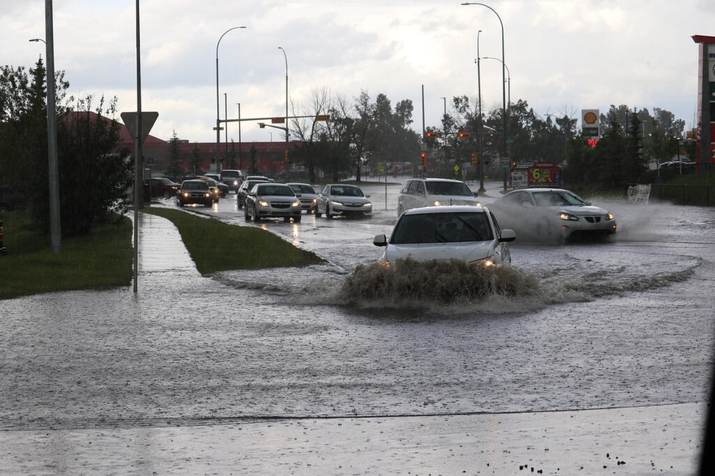
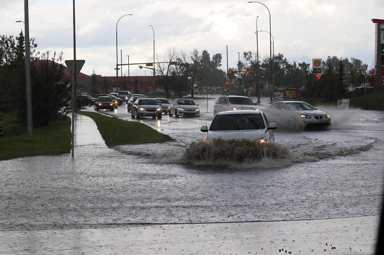
Water rescues were reported across multiple counties as floodwaters rose faster than some residents could evacuate. In Hardin County, roughly a dozen motorists were rescued after driving into flooded roadways, and two residents were rescued from a home that had flooded, according to a county emergency management news release. In neighboring Polk County, authorities helped five people, including three children and a baby, leave a mobile home surrounded by rising water near Livingston after a nearby creek overflowed.
Property damage was largely tied to downed trees and limbs rather than direct flood damage to structures in most reported cases. Hardin County officials said initial assessments showed about 10 buildings damaged by falling trees and limbs, including one commercial building that sustained extensive roof damage, though no injuries were reported in connection with that damage. Beaumont police reported downed trees blocking roads, non-functioning traffic signals, and flooded underpasses across the city, warning drivers not to attempt to cross standing water. Highway 787 was closed due to high water, and several additional water rescues were carried out along it. Sydney Murphy, the Polk County Judge, issued a local disaster declaration on September 2 due to Edouard’s impacts.
Power Outages
Power outages climbed steadily as the storm’s winds and falling trees took down lines across the region. Outages reached roughly 70,000 homes and businesses across eastern Texas at the height of the storm on September 1, with continued outages of more than 30,000 reported into September 3, concentrated heavily in Beaumont and Port Arthur in Jefferson County. Crews also worked to clear dry vegetation that could ignite from lightning strikes and spark fast-moving fires, a precaution Governor Abbott specifically flagged given how quickly grass fires can spread in the region even during an otherwise wet weather pattern.
Why Edouard Stalled Over Texas
Edouard’s tendency to linger rather than move quickly inland and dissipate came down to the broader weather pattern it ran into. Meteorologists described an ongoing heat dome sitting over the central and eastern United States as effectively trapping the storm’s remnant circulation in place, comparing the heat dome to a catcher’s mitt and Edouard to the ball it caught. Heat domes create a slow-moving high-pressure pattern that can block a weather system from progressing normally, and in Edouard’s case, that meant its moisture stayed parked over the same stretch of eastern Texas for more than a day rather than sweeping through and exiting quickly. That stalling effect, more than the storm’s peak wind speed, is what turned a weak, short-lived tropical system into a rainfall event capable of triggering a rare Level 4 flood risk.
The 2026 Atlantic Hurricane Season So Far
Edouard became the third short-lived Gulf storm of the 2026 Atlantic hurricane season, following Tropical Storm Arthur and its remnants, which soaked parts of the northern Gulf Coast back in mid-June, and Tropical Storm Cristobal, which disintegrated quickly in the northern Atlantic on August 13. The pattern across all three storms has been broadly similar: relatively weak systems by wind-speed standards that nonetheless produced significant, sometimes disproportionate, rainfall and flooding impacts once they reached land.
Elsewhere in the basin and the Pacific, forecasters were tracking several other systems around the same time as Edouard. The remnants of Tropical Storm Dolly brought rain and thunderstorms to Haiti, the Dominican Republic, the Turks and Caicos, and the Bahamas. In the Pacific, Hurricane Karina strengthened into a powerful Category 4 storm over open water without threatening land before beginning to weaken, while newly formed Hurricane Lowell was expected to stay several hundred miles from Hawaii, though swells from the storm were forecast to reach the islands.
The recurring theme across this year’s Gulf systems, Arthur, Cristobal, and now Edouard, has been storms that never approach major hurricane strength but still produce outsized flooding impacts once they reach the Gulf Coast. Meteorologists have pointed to warmer-than-average Gulf water temperatures as one contributing factor: even a modest, disorganized tropical system passing over unusually warm water can pull in enough moisture to produce tropical-storm-force winds and, more importantly, extremely efficient rainfall production once it moves ashore. That pattern is consistent with a broader trend climate researchers have documented in recent decades, in which the wind-speed category of a landfalling storm has become a progressively less reliable predictor of its flood risk.
What to Do If You’re in a Flood Zone
Edouard’s flooding pattern, a weak storm producing extreme, slow-moving rainfall, is a useful reminder that flood danger doesn’t require a powerful hurricane. A few safety practices apply broadly whenever a flash flood watch or warning is issued in your area:
- Never drive through flooded roads. Most flood-related deaths in the US involve vehicles driven into floodwater. As little as 12 inches of moving water can sweep a car off the road, and floodwater often hides how deep a road has actually washed out.
- Move to higher ground early if you’re in a flood watch area, rather than waiting for a flash flood emergency to be issued, since conditions in a stalled, slow-moving system like Edouard can deteriorate faster than evacuation routes can handle.
- Charge devices and prepare for power outages ahead of the storm, since downed trees and lines are often the primary source of outages even in storms that never reach hurricane strength.
- Monitor local emergency management channels, not just the storm’s official track, since the highest-risk areas in a stalling system like Edouard can shift well away from where the center originally made landfall.
- Watch for flash flood emergencies specifically, which represent the National Weather Service’s highest and most urgent flood alert level, reserved for situations with a serious, immediate threat to life.
If you’re in a region that sees both winter storm risk and flood-prone weather patterns, it’s worth building a habit of checking seasonal outlooks generally, not just storm-specific alerts. Our recent breakdown of the Old Farmer’s Almanac winter forecast for 2026-2027 covers which regions are expected to see above-normal precipitation heading into the coming months, which can help with longer-range planning beyond any single storm.
Frequently Asked Questions
Where did Tropical Storm Edouard make landfall?
Edouard made landfall near the Texas-Louisiana border on September 1, 2026, with maximum sustained winds of 60 mph, before weakening into a tropical depression later that night as it moved inland.
How much rain did Tropical Storm Edouard bring to Texas?
Areas northwest of Beaumont received 10 to 22 inches of rain in a matter of hours, with cumulative totals in parts of southeastern Texas approaching nearly 25 inches by September 3.
What does a Level 4 flash flood risk mean?
It’s NOAA’s highest flash flood risk category, issued on fewer than 4% of days per year, yet responsible for more than 80% of all flood-related damage and 36% of flood-related deaths nationally. It signals a serious, widespread threat of considerable to catastrophic flash flooding.
Were there any deaths from Tropical Storm Edouard?
No fatalities had been reported in connection with Edouard as of the most recent updates, despite dozens of water rescues and significant property damage from downed trees and flooding across multiple counties.
Is Tropical Storm Edouard still active?
Edouard weakened into a tropical depression on the night of September 1, 2026, and its remnant circulation continued producing heavy rain across eastern Texas through September 3 before the flood threat eased and the system dissipated.
How many power outages did Edouard cause?
Outages peaked at roughly 70,000 homes and businesses across eastern Texas at the height of the storm, with more than 30,000 still without power as of September 3, concentrated in Beaumont and Port Arthur.
Why did Edouard cause so much flooding despite being a weak storm?
An ongoing heat dome over the central and eastern US effectively trapped Edouard’s remnant circulation in place over eastern Texas, causing it to stall rather than move through quickly. That stalling, not the storm’s peak wind speed, allowed it to dump extreme rainfall totals over the same areas repeatedly.
What’s the difference between a tropical storm and a tropical depression?
A tropical storm has maximum sustained winds between 39 and 73 mph, while a tropical depression has sustained winds of 38 mph or less. Edouard was downgraded from a tropical storm to a depression once its winds fell below the tropical storm threshold after landfall, though its rainfall and flooding threat continued regardless of that wind-speed classification.
Which Texas counties were hit hardest by Edouard’s flooding?
Hardin and Tyler counties saw the most extreme rainfall totals and were placed under flash flood emergencies, the highest level of flood warning. Polk County, Jefferson County (including Beaumont and Port Arthur), and areas along Interstate 45 between Dallas and Houston also saw significant flooding and, in Jefferson County’s case, the heaviest power outages.
Bottom Line
Tropical Storm Edouard was never a powerful storm by wind-speed standards, weakening to a tropical depression within hours of landfall, but it became a serious flooding disaster because it stalled over eastern Texas under a blocking heat dome, dumping up to 22 inches of rain in a matter of hours in some communities. The resulting Level 4 flash flood risk, dozens of water rescues, and tens of thousands of power outages are a reminder that a storm’s wind category tells only part of the story; for many communities, rainfall and flooding, not wind, are the hazard most likely to threaten lives and property. As the 2026 Atlantic hurricane season continues, Edouard’s pattern, a weak system producing an outsized flood threat, is worth watching for with any future storm that approaches the Gulf Coast, regardless of what category it carries.